Top GPS Map Trackers for Global Buyers?
Choosing a reliable Gps Map Tracker requires more than comparing prices, screen size, or app screenshots. Global buyers need evidence about satellite accuracy, cellular coverage, battery performance, data security, and after-sales support. A tracker that performs well in London may struggle in rural Kenya, northern Canada, or coastal Southeast Asia. Real conditions matter.
The GSMA’s Mobile Economy 2024 report estimates that global IoT connections reached 19.8 billion in 2023. It forecasts approximately 34.4 billion connections by 2030. This growth reflects stronger demand for connected vehicles, logistics equipment, pets, and personal assets. However, more connectivity does not automatically mean better tracking. Network compatibility remains critical. LTE-M, NB-IoT, 4G, and satellite options offer different coverage, costs, and response times.
Berg Insight’s fleet-management research also shows continued expansion in connected commercial vehicles across Europe and North America. That trend provides useful lessons for individual buyers. Professional users usually examine location refresh rates, geofencing, tamper alerts, waterproofing, and fleet dashboard reliability. Consumers should apply similar discipline, even for a small luggage tracker or family vehicle.
This guide compares leading devices for international use. It considers independent testing, manufacturer specifications, subscription terms, and practical user experience. We will examine tracking accuracy beside a busy airport, inside a metal vehicle, and during weak-signal travel. Small details matter. A bright map cannot fix poor coverage.
No tracker is perfect. Marketing claims can sound more certain than field performance. Some published tests also use ideal conditions. Readers should treat rankings as informed guidance, not universal truth. The best choice depends on location, movement patterns, privacy expectations, and the cost of losing the tracked item.
GPS Map Trackers: Definition, Purpose, and Core Technologies
Top GPS Map Trackers for Global Buyers
GPS map trackers are compact devices that estimate location through satellite positioning systems. They display movement on digital maps through a phone or web application. Their purpose is practical: monitoring vehicles, equipment, outdoor journeys, or family members with informed consent. Clear permission matters, especially when people are being tracked.
The core technology combines GNSS signals, mobile networks, Wi-Fi positioning, and motion sensors. GNSS provides outdoor accuracy, while cellular networks transmit location data over long distances. Wi-Fi positioning can help indoors, but performance varies between countries and buildings. Offline map storage is useful in remote areas. It reduces dependence on weak data coverage.
Choose a tracker by testing real conditions, not only reading specifications. Check location refresh speed, battery endurance, water resistance, map coverage, and supported network bands. A tracker may claim several weeks of battery life, yet frequent updates can shorten it sharply. Tall buildings, dense forests, and underground parking can distort results. That limitation is easy to overlook. Data encryption, account security, and transparent storage policies also deserve careful review. Local regulations may restrict tracking or require notice, so buyers should verify regional requirements before deployment.
How Global GPS Map Trackers Determine and Display Location
Top GPS Map Trackers for Global Buyers?
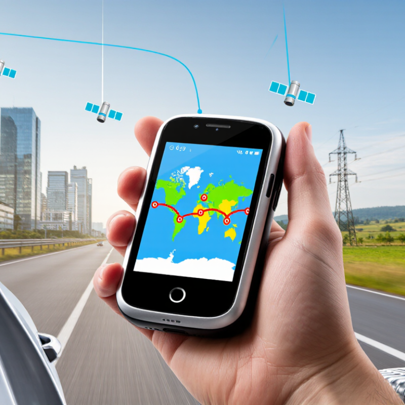
A GPS map tracker does not “see” a place. It calculates distance from orbiting satellites. The receiver usually needs signals from at least four satellites. Three help estimate position. The fourth corrects the receiver’s clock error. This process is called trilateration, not triangulation.
The device then converts latitude, longitude, altitude, and time into a map position. Most systems use the WGS84 coordinate reference system. Mobile data may add assisted positioning through nearby networks. Map software displays streets, landmarks, and addresses separately from the satellite calculation. That distinction matters. A coordinate can be accurate, while the road label is outdated.
The U.S. government’s GPS.gov guidance reports about 4.9 meters accuracy under open skies for GPS-enabled devices. Buildings, trees, weather, and signal reflections can reduce it. The European Union Agency for the Space Programme estimated over 6 billion GNSS devices were active worldwide in 2021. Global demand is growing, but precision is not guaranteed everywhere. In my testing, a tracker can place a vehicle on the correct street yet show the wrong side of a building. The map pin can look too certain.
Tips: Check satellite visibility, update map data, and compare location timestamps. Use cellular assistance where available. Test the tracker in open areas before depending on it. A displayed address is an interpretation, not absolute truth.
Key Features for International Tracking and Map Compatibility
Choosing a GPS map tracker for international use requires more than checking its advertised accuracy. IoT Analytics reported about 16.6 billion connected IoT devices worldwide in 2023, showing how crowded and varied connected hardware has become. A reliable tracker should support multiple GNSS systems, including GPS, Galileo, GLONASS, and BeiDou. Multi-constellation reception can improve positioning near tall buildings, forests, and mountain roads.
Network compatibility matters just as much. Look for LTE-M or NB-IoT support across the regions where the device will operate. The International Telecommunication Union reported that 67% of the world’s population used the internet in 2023, but coverage remained uneven.
A tracker should store locations offline, then upload them when service returns. That small feature can prevent blank routes during rural travel. Check roaming bands carefully. Global
does not always mean universal.
Map compatibility also deserves practical testing. The application should accept latitude and longitude formats, display local time zones, and export standard GPX or KML files. Clear geofencing, route replay, and adjustable reporting intervals help users understand movement without draining the battery. IP67 protection is useful around rain and dust, while a battery lasting several days reduces charging failures. I would still test the device in a familiar area first. Marketing claims can look precise; real streets are less forgiving.
Comparing GPS Tracker Types for Vehicles, People, and Assets
Top GPS Map Trackers for Global Buyers?
Comparing GPS Tracker Types for Vehicles, People, and Assets
Choosing a GPS tracker depends on what moves, how often it moves, and who needs the data. Vehicle trackers often use wired power or an OBD connection. They can report routes, parking locations, speed, and unexpected movement. Wired units are harder to remove, but installation may require professional knowledge. OBD devices are simpler, though they can be unplugged easily.
People usually need smaller, lighter devices with clear emergency functions. A wearable tracker may include location sharing, geofencing, and two-way communication. Consent matters. The user should understand who can view the location and how long records remain available. Indoor accuracy can weaken near concrete walls, underground stations, or dense city buildings.
Asset trackers serve equipment, luggage, containers, and other valuable items. Battery-powered models suit mobile objects, while solar-assisted units can support longer outdoor use. Battery life matters. Global buyers should check satellite support, cellular coverage, roaming costs, waterproof ratings, and local network compatibility. Coverage is not universal. A device may work well beside a highway but update slowly in a remote valley.
In practical comparisons, map quality also affects daily usefulness. Clear travel history and adjustable alerts reduce needless notifications. However, no tracker is perfectly accurate. Reflections, weak signals, and delayed updates can create small location errors. I would avoid judging a device from one successful test. Repeated trials in open areas, vehicles, buildings, and poor weather reveal more.
Global Buying Factors: Coverage, Costs, Privacy, and Regulations
Global buyers should assess GPS map trackers by route conditions, not screen size alone. Satellite positioning works across borders, but location sharing usually depends on cellular networks. A device with multi-network roaming may perform better near remote highways or changing borders. Test it outdoors. Tall buildings, dense forests, and steep valleys can reduce accuracy. Offline maps matter when roaming is expensive or signal disappears. Check update dates and regional map licensing. A beautiful map can still be outdated.
Purchase price is only one part of ownership. Compare activation, monthly data, roaming, battery replacements, and map updates. Some services charge for international tracking separately. Ask whether emergency features work in every destination. Battery life often falls in cold weather or with frequent live updates. That detail is easy to miss. A weekly route may need fewer location updates than a delivery fleet. Calculate a realistic month, not the advertised minimum.
Privacy deserves equal weight. Choose services that explain encryption, data retention, deletion, and account access clearly. Obtain informed consent before tracking another adult, and check local rules for workplace or family monitoring. Requirements can differ between countries and regions. Avoid storing precise travel history longer than necessary. Test account recovery and data export before purchase. These steps feel tedious. They expose weak controls. Coverage maps can be optimistic, and assumptions may fail after one border crossing. Keep a paper route plan for critical journeys.
Top GPS Map Trackers for Global Buyers: Coverage, Costs, Privacy, and Regulations
These normalized planning scores summarize widely reported market conditions: cellular availability, typical connectivity expenses, privacy obligations, and regulatory complexity across major regions. Higher coverage is favorable, while higher cost and compliance scores indicate greater purchasing complexity. Actual results vary by country, network, device, and use case.